RPI has a long history of scientific application of spatial and analytic technologies for coastal and natural resource mapping. RPI scientists created the original concept of the Environmental Sensitivity Index (ESI) in 1978 and spearheaded the use of Geographic Information Systems (GIS) for natural resource mapping in the 1980’s and 1990’s. Today, we remain on the leading edge with the development and application of advanced remote sensing and spatial analytics methods to support our mission of bringing rigorous and unbiased insight.
Our Services:
- We have deep staff expertise with nearly all significant commercial and open –source GIS, remote sensing, data visualization, and scientific computing software packages
- We are coupling traditional spatial analysis techniques and methods with advanced and rapidly evolving statistical and machine-learning based modeling methods to bring new and powerful insight into natural resource management questions
- We leverage our spatial and analytical capabilities with expertise in information technology, data management, and application development to develop desktop, web, and mobile assessment, screening, and decision support tools
We have demonstrated experience in the following areas:
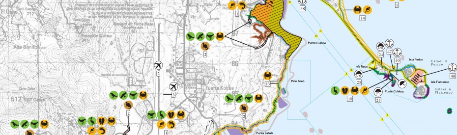
- Environmental Sensitivity Index (ESI)
- Remote Sensing
- Coupled Spatial and Machine Learning Models
- Spatial Analytics
- Landscape Ecology
- Coastal Geomorphology
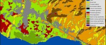
- Benthic Habitat Mapping
Related Projects:
- ESI mapping
- Haiti WINNER
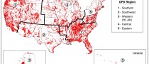
- Office of Pipeline Safety USAs
- Drinking Water Unusually Sensitive Areas (USAs)
- Route Selection and EIS for Electrical Transmission Corridor, Costa Rica
- Post Storm Marine Debris Surveys, Data Management, and Modeling
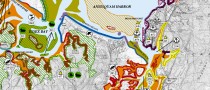
- Coastal Resources Atlas and Vulnerability Index for the Abu Dhabi
- Gulf of Mexico All-Hazards Risk Assessment
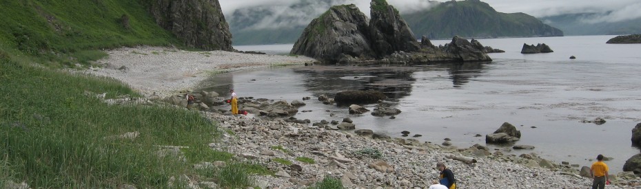
- Extent of Subsurface Lingering Oil for the Exxon Valdez Spill
- Superstorm Sandy Debris Mapping and Modeling
- BOEM Environmental Support
- Abu Dhabi Habitat Mapping Change Analysis
- Al Gharbia Master Plan Physical Setting Characterization
- Draft Regulations for Prevention of Coastal Erosion in Oman