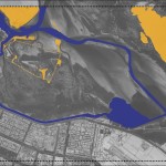
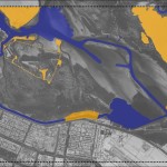
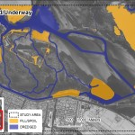
RPI and Pandion Technologies, Ltd. performed fine-scale benthic and intertidal habitat mapping based upon object segmentation and classification of optical imagery and bathymetric data. Scientists conducted field surveys and used field data to verify habitat mapping. Detailed habitat data enabled a quantitative change analysis to examine the effects of dredging and filling in sensitive mangrove, wetland and seagrass environments near Abu Dhabi in the United Arab Emirates.


