Founded in 1977, RPI is a science-technology consulting firm that combines the natural science disciplines with geospatial and quantitative analysis to address unique challenges in coastal and environmental management.
We are dedicated to bringing science-based solutions to our clients in government, industry, and non-profit organizations.
We are dedicated to bringing science-based solutions to our clients in government, industry, and non-profit organizations.

Learn More
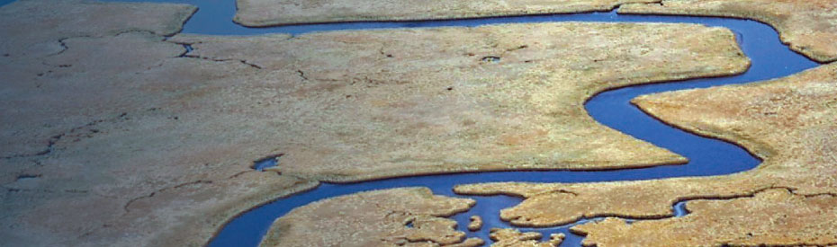
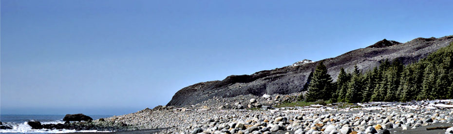
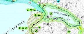
Environmental Sensitivity Index (ESI)
We have mapped the shoreline habitats and biological resources of most of the shoreline of the US, as well as a variety of international areas. This extensive digital dataset allows us to predict the potential impacts of hazards such as oil spills, sea level rise, and storm surges.
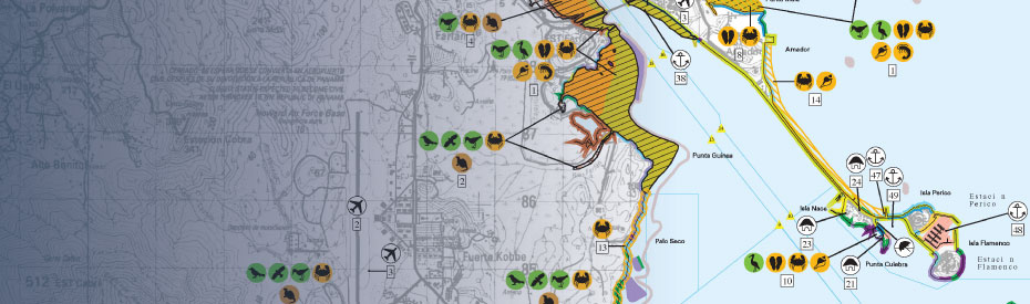
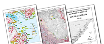
Spatial Analysis
We have been providing mapping, spatial analysis, and Geographic Information Systems (GIS) support for natural resource management to state and federal agencies, private industry, and international organizations since 1989. Our subject-matter expertise in the physical and biological sciences, combined with advanced geospatial analytics and remote sensing capabilities, allow us to analyze the right data to answer the right questions.
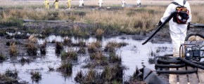
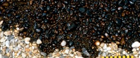
Oil Spill Technology
We are actively involved in the design and application of research on the operational issues of oil spill fate and effects – from geomorphic controls on the persistence of lingering oil to the effects of oil in marshes. Our specialty is evaluating the trade-offs of oil and chemical spill emergency and long-term response actions.
News & Events
-

RPI is now a SBA-certified Woman Owned Small Business (WOSB)
We are excited to announce that on 20 September 2021, the Small Business Administration certified RPI as a Woman Owned Small Business (WOSB). ...
More » -
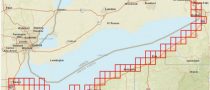
Lake Erie Environmental Sensitivity Index (ESI) award under NOAA ProTech Oceans
We are pleased to announce that RPI was awarded the contract to generate Environmental Sensitivity Index (ESI) geodatabase and hard/soft copy atlases for Lake Erie. ...
More »