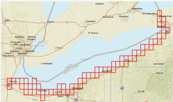
We are pleased to announce that RPI was awarded the contract to generate Environmental Sensitivity Index (ESI) geodatabase and hard/soft copy atlases for Lake Erie.
The only prior ESI maps were created in 1985, pre-GIS, so the only copies were large prints of the hand-drawn maps. About time! Thanks to the U.S. Coast Guard, NOAA’s Emergency Response Division, and the NOAA ProTech Oceans team for the funding and our selection.