To improve timely and accurate preliminary mapping of vessels and debris in coastal shallow subtidal, intertidal, and supratidal regions following tropical storm, tsunami, or other debris-generating events in coastal areas, RPI developed a rapid and operational pipeline for automated processing of high-resolution remotely sensed post-event imagery. This automated pipeline is anticipated to initially consists of a two-tiered system consisting of both:
- Synoptic image processing for mapping of overall debris density using multiple rubble and debris detection algorithms, potentially combined using model ensemble methods, and trained on actual post-event, ground-truth data; and
- Automated mapping of specific debris items types of debris targets (principally vessels but also, potentially, others such as drums and tanks) via recently developed deep-learning-based object-detection techniques.
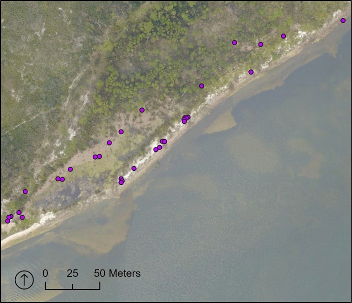
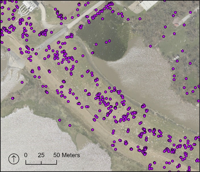
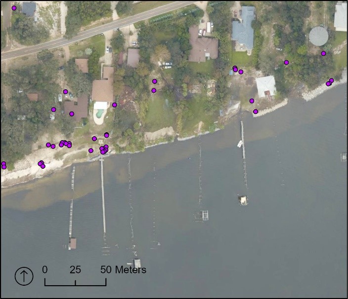
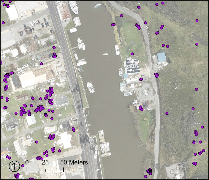
The models were validated using target data collected via manual aerial imagery interpretation and verified in the field following Hurricane Sally (2020) and Ida (2021). It was determined that debris model performance was well suited for identifying large aggregations of general debris in natural intertidal areas, and adjacent subtidal and upland areas Vessel model performance was adequate for improving speed and accuracy of vessel target identification by manual analysts. The best use of the model output at present is to improve efficiency and accuracy of manual review by mapping analysts; inspection by analysts remains critical for identifying false positives and classifying vessel condition.